


Vorberg Walking Tour
Accessible by public transportCharacteristics
SkillThe tour in numbers
Level of difficulty
easy
Route
5,2 km
Time
1:40 h
Uphill
130 hm
Downhill
130 hm
Highest point
1144 m
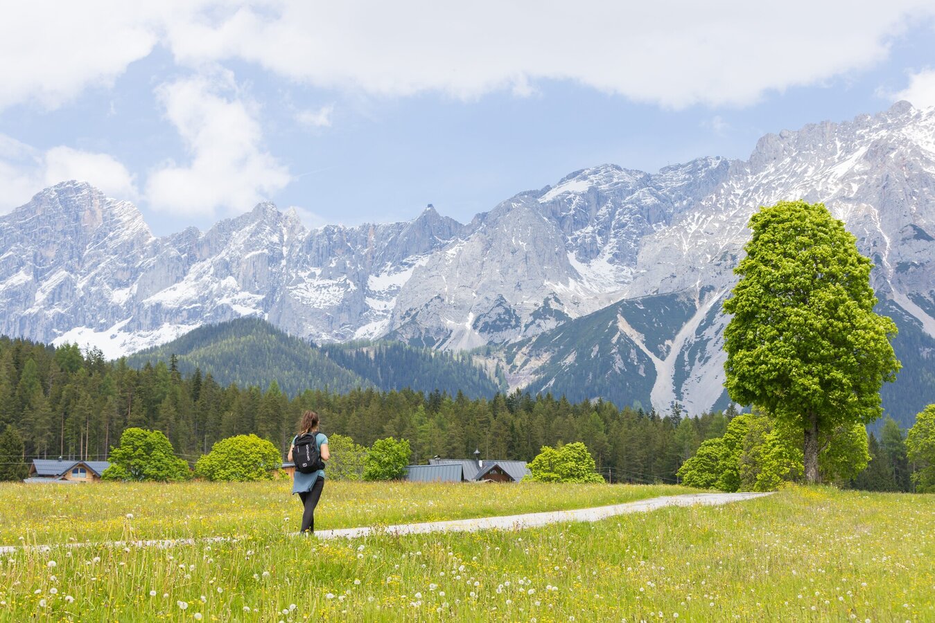
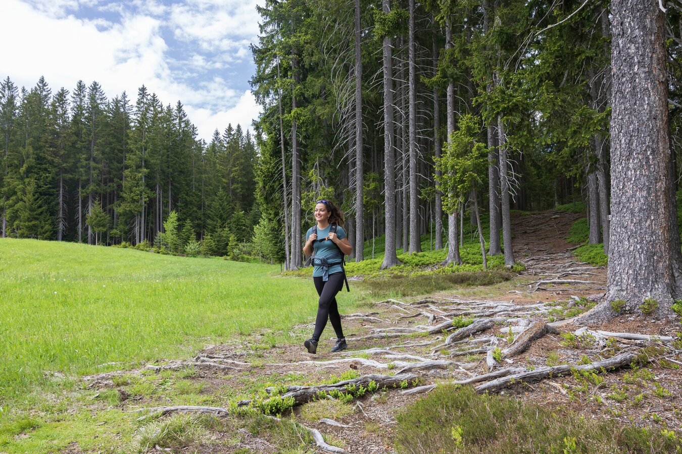
A beautiful Nordic-Walking tour passing meadows and forests on the Vorberg plateau.
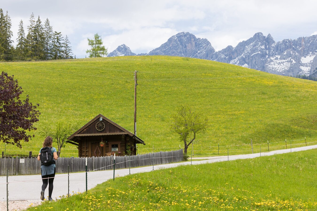
The path leads gently and wild romantically through the Wolfschlucht towards Ramsau-Vorberg, always with a view to the Dachstein and the Schladminger Tauern. At the high plateau we walk through meadows, forests and scattered settlements. The way back runs on an easy to moderate selected terrain and we have a wonderful view to the surrounding, impressive mountains. Via the farm way we come back again to the starting point.
Best season
January
February
March
April
May
June
July
August
September
October
November
December
More information
Leave the highway B320 Ennstalbundesstraße in Pichl an der Enns and continue to "Vorberg" via the Vorbergstraße road until you reach hotel Steirerhof. The hiking trail head is situated straight ahead at the intersection.
From the hiking trail head Vorberg-Steirerhof we start to the right and walk past Brandstätterhof farm along the panorama trail n° 100. This ones makes a left along the road towards North and passes the Fasl and Astl farms. Shortly after we reach the hiking trail head Vorberg-Arnika. Following trail n° 100 past pension Arnika we reach Greimelbacherhof farm. About 300 m after the farm we make a right and cross the river to Ramsau-Vorberg. After the crossing we make a right again and walk towards South, and later South-East. At the Vorberg intersection (Ramsau-Vorberg/Pichl-Vorberg) we walk on straight, crossing over a meadow and then through a short forest passage. After that we walk along the road for a short distance before we follow the edge of the forest to the right. We pass through Wolfsschlucht gorge and return to Brandstätterhof and the hiking trail head where we started.
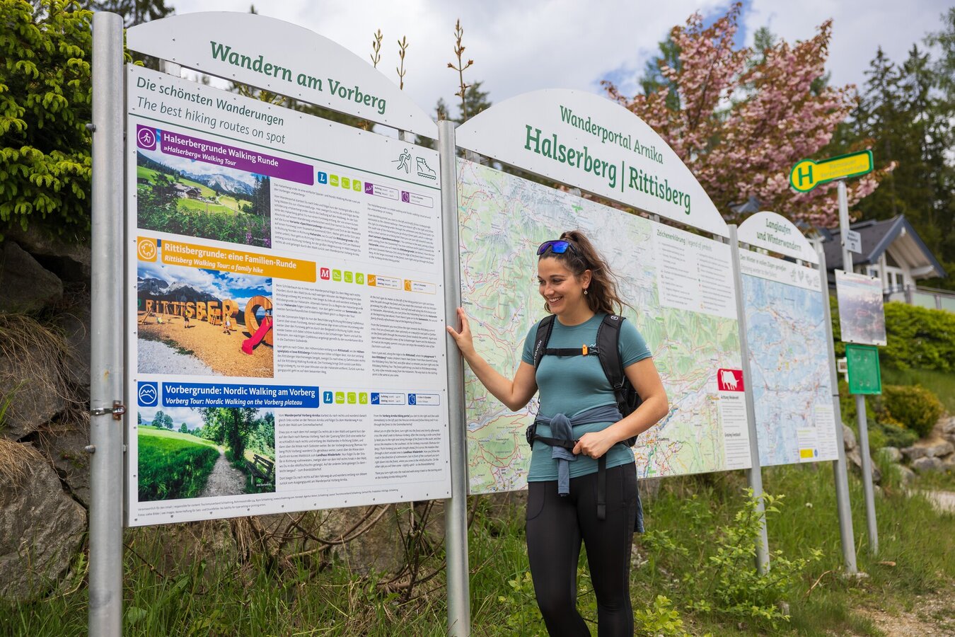
From the hiking trail head Vorberg-Steierhof you also have the access to Aberg Walking Tour, followed by the Village Walking Tour and the Mandling Walking Tour.
The hiking trail head can be reached with bus lines 962 and 964 of Ramsauer Verkehrsbetriebe - bus stop "Steirerhof".
Bus schedule available at www.rvb.at
The closest car parking is available at the trail head at pension Arnika.
Info about buses: www.rvb.at
Nordic Walking: www.nordicwalkingschaukel.at
- Hiking map ‘Hiking WEST’ available at the information offices in the region.
- Schladming hiking map, 1:25,000, available at the Schladming information office.
- Hiking map Schladming-Dachstein, 1:50,000, available at the information offices in the region.
- Hiking guide Schladming-Dachstein by Herbert Raffalt, available at the information offices in the region.
Map & downloads
Gallery
Martin Huber
1/8
Wandern im Frühling, Vorbergrunde | © (c) Martin Huber - all rights reserved | Martin Huber
2/8
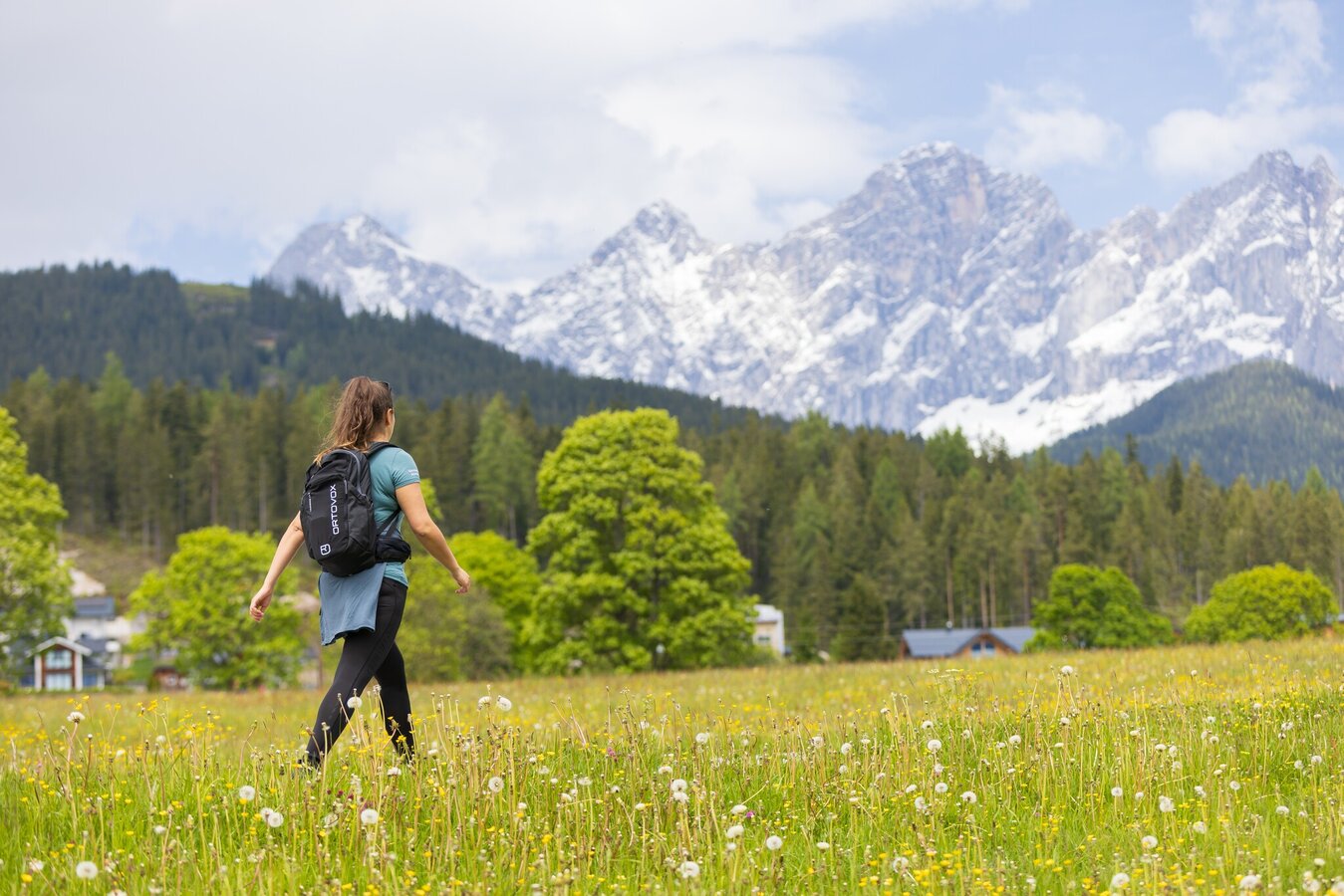
Wandern im Frühling, Vorbergrunde | © (c) Martin Huber - all rights reserved | Martin Huber
3/8
Martin Huber
4/8
Wandern im Frühling, Vorbergrunde | © (c) Martin Huber - all rights reserved | Martin Huber
5/8

Auf der Vorbergrunde Richtung Wolfsschlucht | © Gerhard Pilz | Gerhard Pilz
6/8

Gemütliche Verweilmöglichkeiten auf der Vorbergrunde | © Gerhard Pilz | Gerhard Pilz
7/8

vorbergrunde-nadine-c-martin-huber-4026_1171495739.jpg | © (c) Martin Huber - all rights reserved | Martin Huber
8/8
What the weather will be like Schladming (740m)
Forecast
06.09.2025

7°C
21°C
07.09.2025
7°C
24°C
08.09.2025

9°C
23°C
