


Gössenberg - Pleschnitzzinken - Ochsenkarhöhe - Scheibleck
Accessible by public transportCharacteristics
SkillThe tour in numbers
Level of difficulty
challenging
Route
10,8 km
Time
6:00 h
Uphill
1131 hm
Downhill
1131 hm
Highest point
2117 m
Promising peak hike!
Surprisingly nice is the view from the Ochsenkarhöhe: Pleschnitzzinken, Sattental, Gumpeneck, Hochwildstelle, Bischofsmütze, Dachsteinkette, Totes Gebirge, Ennstaler Alpen, TauernBotanical highlights: Almrausblüte in the first half of July, blauer Eisenhut in August, great autumn colors of the surrounding forest in autumn
Best season
January
February
March
April
May
June
July
August
September
October
November
December
More information
Drive from the Ennstalbundesstraße (B320) to Gössenberg/Seewigtal. Take the toll road up to the farm Loipoldhof.
Our hike starts at the Loipoldhof (1,290 m). Access is possible by car. We follow trail 783a to the Pleschnitzzinkenhütte (1,944 m, self-catering hut) and continue over the ridge to the Pleschnitzzinken (2,112 m). Continue in a southerly direction after the ridge extension to the saddle (1,940 m) and then on to the Ochsenkarhöhe (1,957 m). From there we walk up to the Scheibleck (2,117m). Once we have reached our destination, we take the same route back to the Loipoldhof.
If you have less time, you can "only" climb the Pleschnitzzinken (2,112 m) - a top-class panoramic mountain that is as easy as it is to reach. Ascent from Bottinghaus am Galsterberg near Pruggern.
Arrival by public transport is not possible.
Nearby farm "Loipoldhof"
Safety information
Safety on the mountainside: changes in the weather, sudden fall in temperature, thunder storms, wind, fog and snow fields are all objective dangers and require the correct behaviour whilst underway. the landlords of the huts are all very knowledgeable about the mountains and can give you good tips about the weather and the routes. Insufficient equipment, exaggerated opinion of ones capabilities, frivolousness, poor health condition and a false evaluation of the situation can lead to a critical situation. In thunder storms: summits, crest-sites and safety rope aids are to be avoided.
If something should happen call following emergency numbers: No. 140 - the number for all Alpine Emergencies in all of Austria No. 112 - European emergency call GSM emergency-call-service
Here you will find all hiking maps and important brochures to download.Map & downloads
Gallery

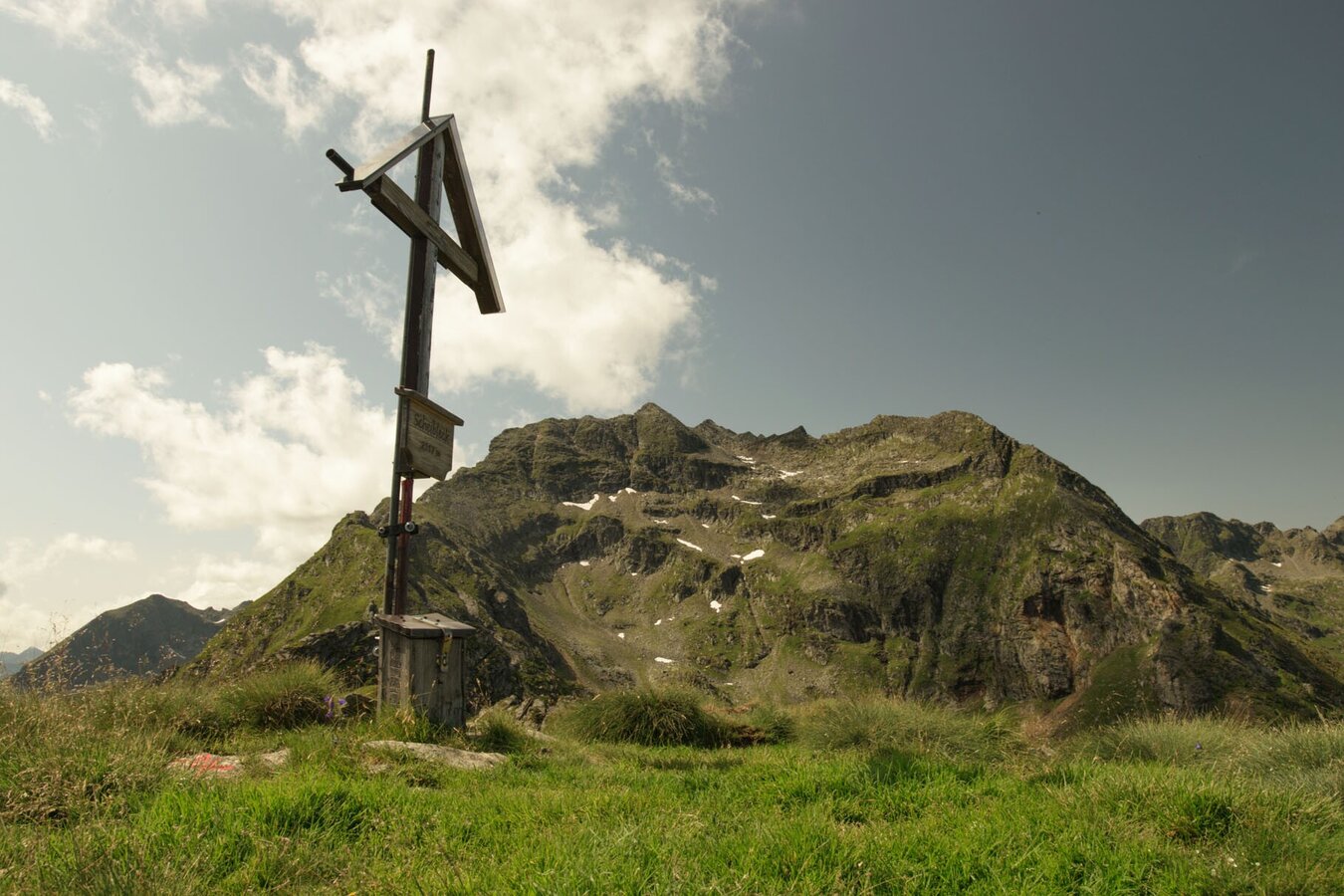
scheibleck-c-marlene-eggmayr.jpg | Marlene Eggmayr
1/6
Marlene Eggmayr
2/6

Blick vom Pleschnitzzinken ins Seewigtal | © www.haus.at | Schladming Dachstein
3/6

Almrausch | © Privat | Schladming Dachstein
4/6

Gebirgsbach am Weg zur Pleschnitzalm | © Privat | Schladming Dachstein
5/6

auf dem Weg zum Pleschnitzzinken | © Unbekannt | Schladming Dachstein
6/6
What the weather will be like Aich (700m)
Forecast
06.09.2025

8°C
22°C
07.09.2025
8°C
25°C
08.09.2025

10°C
24°C
